History of the East Tennessee Crossing Byway
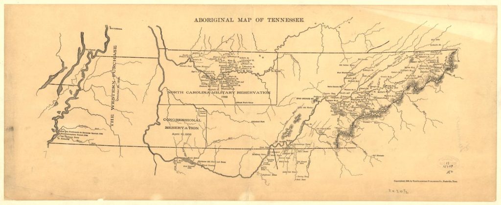
Tennessee’s Wilderness Road was the principal route for westward migration from 1790 to 1840. Blazed by notable adventurers, Dr. Thomas Walker and Daniel Boone, pioneers followed this road seeking a new life and to homestead in the rich, fertile lands of current day Kentucky and Indiana.
The Early Path of the Warriors
Early use of the road was by Native American Indians who followed these animal paths or traces to hunt and trade. The Cherokee and Shawnee warriors used the route between Cumberland Gap and Bean Station as a game trail and as a convenient pathway to launch raids on one another. The Cherokee and Shawnee name for this path was Athowominee, meaning “Path of the Armed Ones.” British traders combined that name with the Eastern Native American Great Trail to call this trail system the Great Indian Warpath.
Civil War Supply Lines
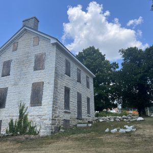
During the Civil War, these same roads were strategic for Union and Confederate armies to move supplies and soldiers. Freemen and slaves leveraged the roads to escape to the “free” north in Ohio, often hiding in nearby wooded areas and caves.
Enter the Automobile
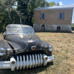
In 1908, the automobile was becoming a preferred way to travel and a north-south road system was needed. Resorts in Bean Station and Cumberland Gap were drawing wealthy visitors to the area to enjoy the mountain air and spring waters. Wanting to improve travel, local leaders secured funding to build two miles of paved “object lesson road” under the Dixie Highway Association in 1908, at a time when there was only a total of 600 miles of paved road in the entire United States. The two miles were completed, but due to a lack of funding, the additional proposed miles of road were not. The Dixie Highway Association revoked the membership for the road in 1918, but 25 E retained its popularity with early drivers.
25 E is also steeped in the legendary lore of moonshining. Throughout the early to mid-20th century, the route from the Cumberland Gap to Tazewell, along with SR 33 from Tazewell to Knoxville, was part of the infamous Thunder Road, which was used by bootleggers to illegally transport and trade moonshine. The story was later fictionally adapted into a 1958 film and song of the same name.
A Unique Tunnel Creates Access
In 1996, a vehicle tunnel through the mountain was built to replace the original winding road through the Cumberland Gap Pass. The road had been nicknamed “massacre mountain” due to a high rate of accidents, and the tunnel was built to improve safety for drivers. This tunnel is one of only two tunnels in the United States that connect vehicle traffic between two states.
A drive along the Byway is a journey between our past and our future, connecting people to history, commerce, and recreation in the mountains of East Tennessee.
