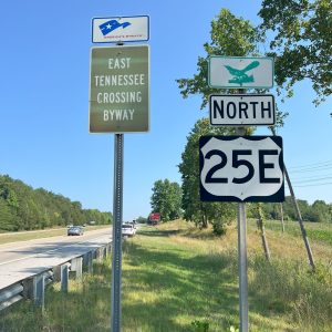
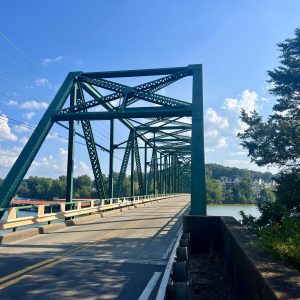
The East Tennessee Crossing Byway spans from the Kentucky/Tennessee state line in Cumberland Gap through Claiborne, Grainger, Hamblen, Jefferson and Cocke Counties to the North Carolina state line at Hot Springs, NC. It follows the route of Highway 25/70.
How To Use This Map
Use the “+” or “-“ sign in the lower left corner of this map to enlarge or shrink the image.
Or use the picture frame image in the top right corner to make the map full screen.
Use the Share symbol in the top right corner to send the map to an email to use in the future.
Seek Adventure
Get the Guide
Planning your trip to the East Tennessee Crossing Byway? Download our Guide and Map and bring it with you!


#TNwildernessroad

[do_widget id=qode_instagram_widget-2]
